
Inspection and Volumetric Analysis with LiDAR
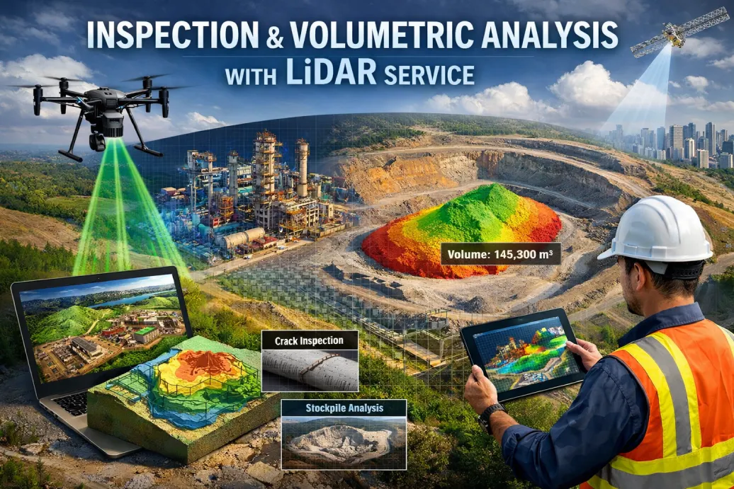
LiDAR captures millions of spatial data points to create accurate 3D representations of structures, terrain and industrial assets. TechQRT combines LiDAR acquisition, point-cloud processing, volumetric computation, inspection analytics and digital-twin workflows.
Applications include mining stockpiles, construction progress, infrastructure inspection, industrial assets, ports, railways and oil & gas. Outputs can include DEM/DSM, 3D meshes, volume reports, change detection and inspection findings.